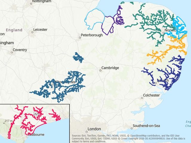
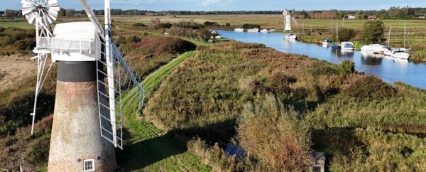
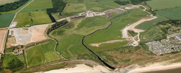


Environment
Discover how we balance flood risk, drainage and ecological protection.
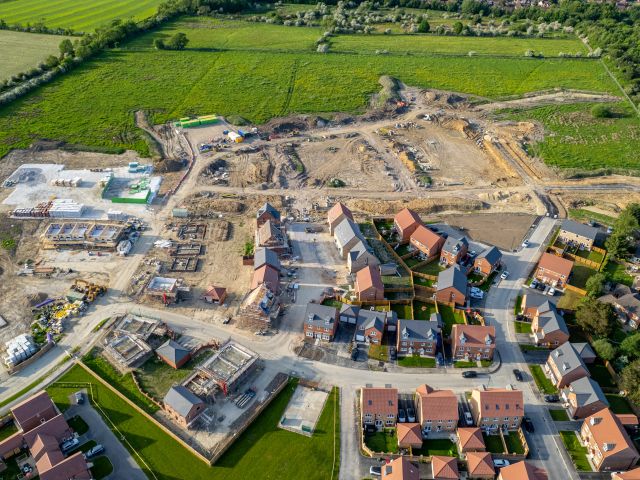
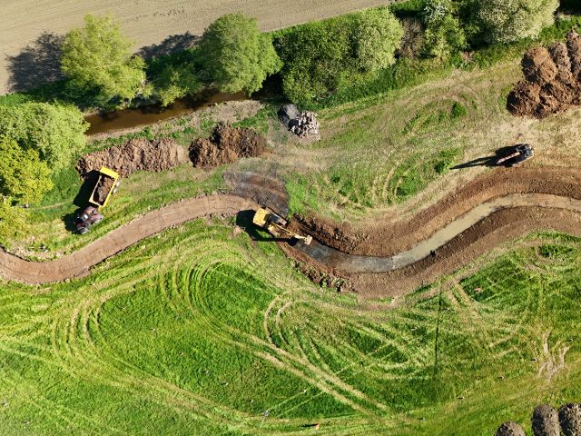
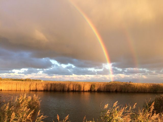
Our Environment Team guides the delivery of responsible and sustainable water management within our member boards. Protecting habitats, supporting biodiversity and ensuring compliance with environmental standards.